

Our mission is simple.
Give our users tools that make magnetometer and GPR data collection and analysis easier, and more efficient.
Quality
Data Processing
Our easy-to-use software make processing, interpreting, and analyzing data simple and efficient.
Hi-Res
Data Capturing
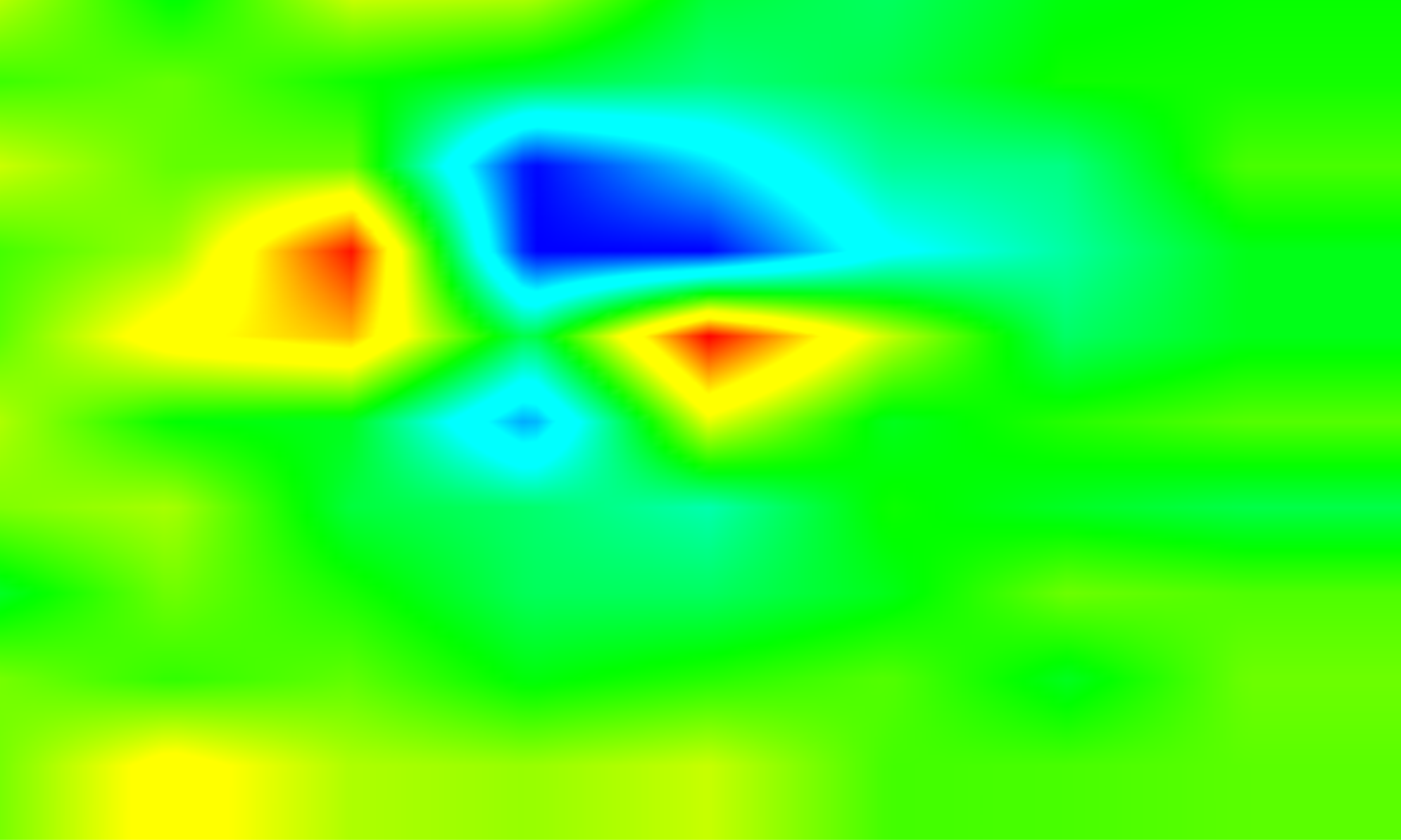
Advanced instruments, capture high-quality data, delivering top industry performance, providing precise and reliable high-resolution signal capture.
Made for all sort of applications.
Environmental & Ecological
- Bathymetry (Study of underwater, ocean, lake, river - GPR)
- Land Conservation (Soil analysis, cavity, and sinkhole analysis - GPR)
- Artic Surveys (Snow, ice & permafrost thickness measurements)
Utilities & Infrastructure
- Cable Tracking
- Pipeline Maintenance
- Civil Engineering (Utility mapping)
Military & Defense
- UXO (Unexploded Ordnance detection)
- Mountain Rescue – Avalanche Support for Search & Recovery
- Criminal Investigations – Buried remains location
Surveying & Development
- Land Surveying
- Land Remediation & Redevelopment (Area clearance)
- Geology (Stratigraphy/sediment analysis)
- Mineral Search (Cobalt, Nickel, Iron)
Archaeology & History
- Archeology (Subsurface exploration for historical artifacts)
- Bathymetry (Study of underwater, ocean, lake, river - GPR)
- Land Conservation (Soil analysis, cavity, and sinkhole analysis - GPR)
- Artic Surveys (Snow, ice & permafrost thickness measurements)
- Cable Tracking
- Pipeline Maintenance
- Civil Engineering (Utility mapping)
- UXO (Unexploded Ordnance detection)
- Mountain Rescue – Avalanche Support for Search & Recovery
- Criminal Investigations – Buried remains location
- Land Surveying
- Land Remediation & Redevelopment (Area clearance)
- Geology (Stratigraphy/sediment analysis)
- Mineral Search (Cobalt, Nickel, Iron)
- Archeology (Subsurface exploration for historical artifacts)
For unmanned vehicles
We make magnetometers and GPR systems, highly sensitive sensors that can be seamlessly integrated with aerial, ground, or underwater vehicles. These versatile tools enable remote, precise detection and data collection across various environments, from the sky to the surface and deep underwater, enhancing the capabilities of unmanned systems for a wide range of applications.
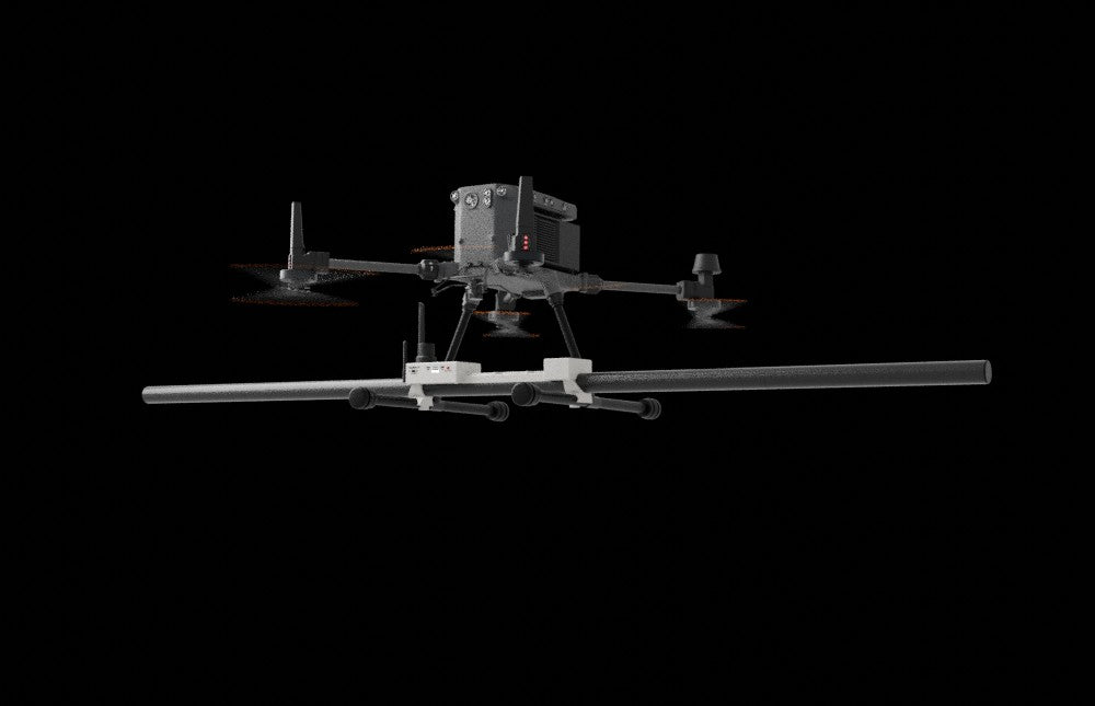
Aerial
Magnetometers can be attached to drones for efficient aerial surveys
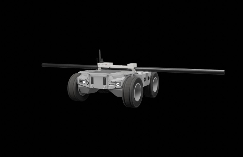
Ground
We design detection devices for ground vehicles, enhancing survey capabilities.
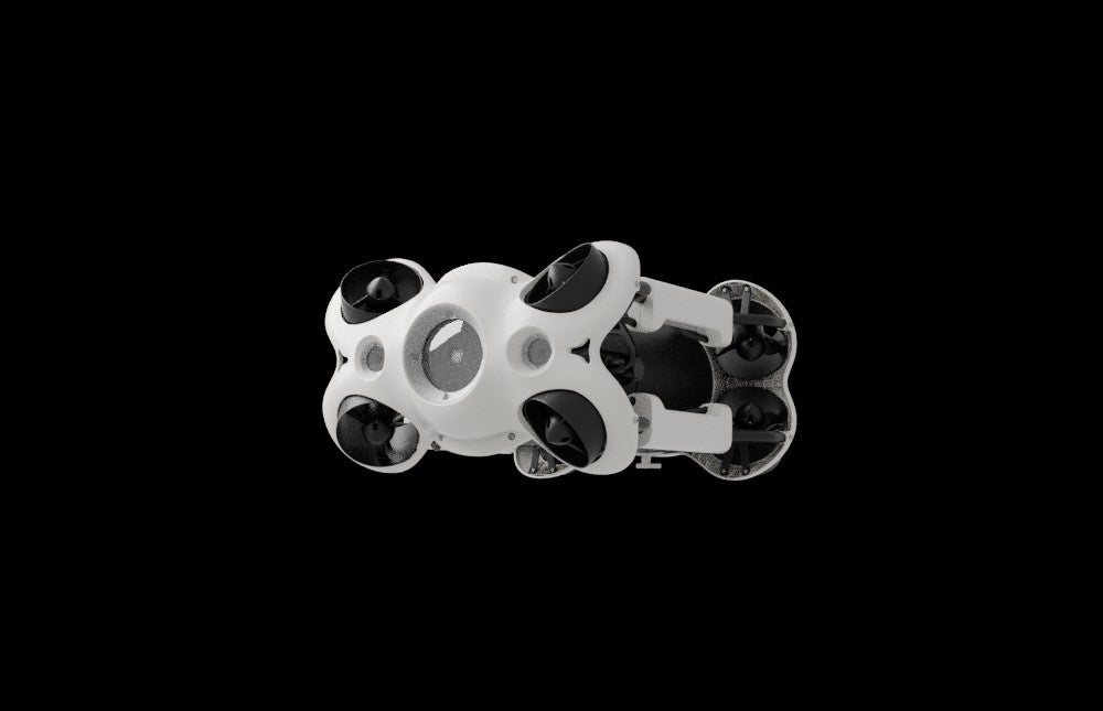
Underwater
We create detection devices for underwater surveys, ensuring precision in marine environments.
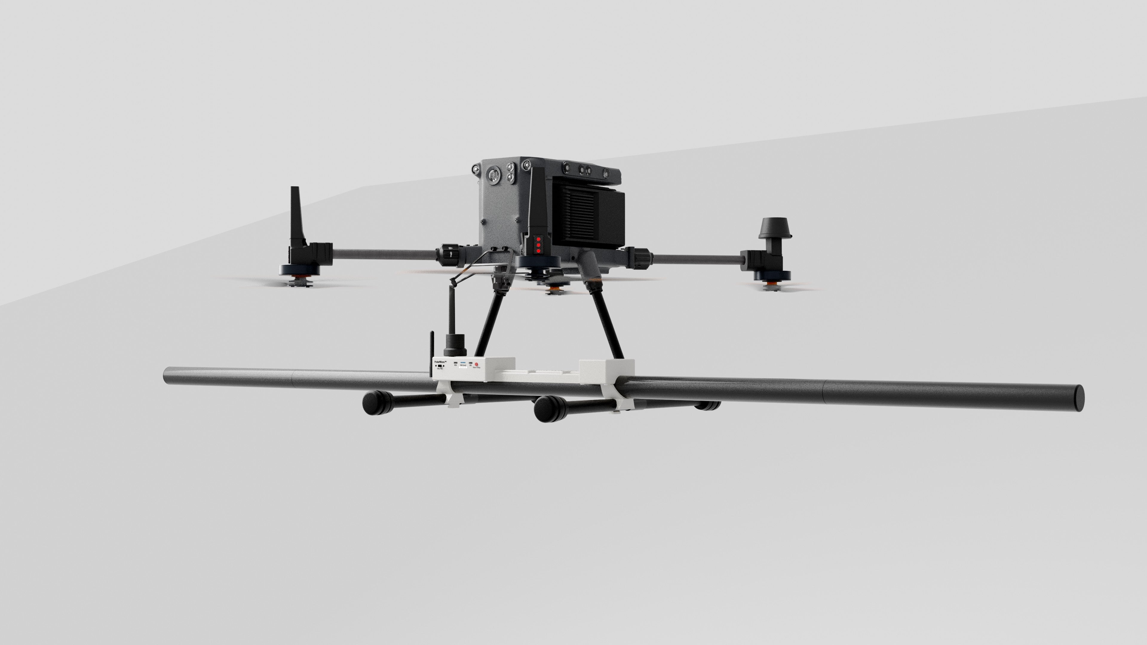
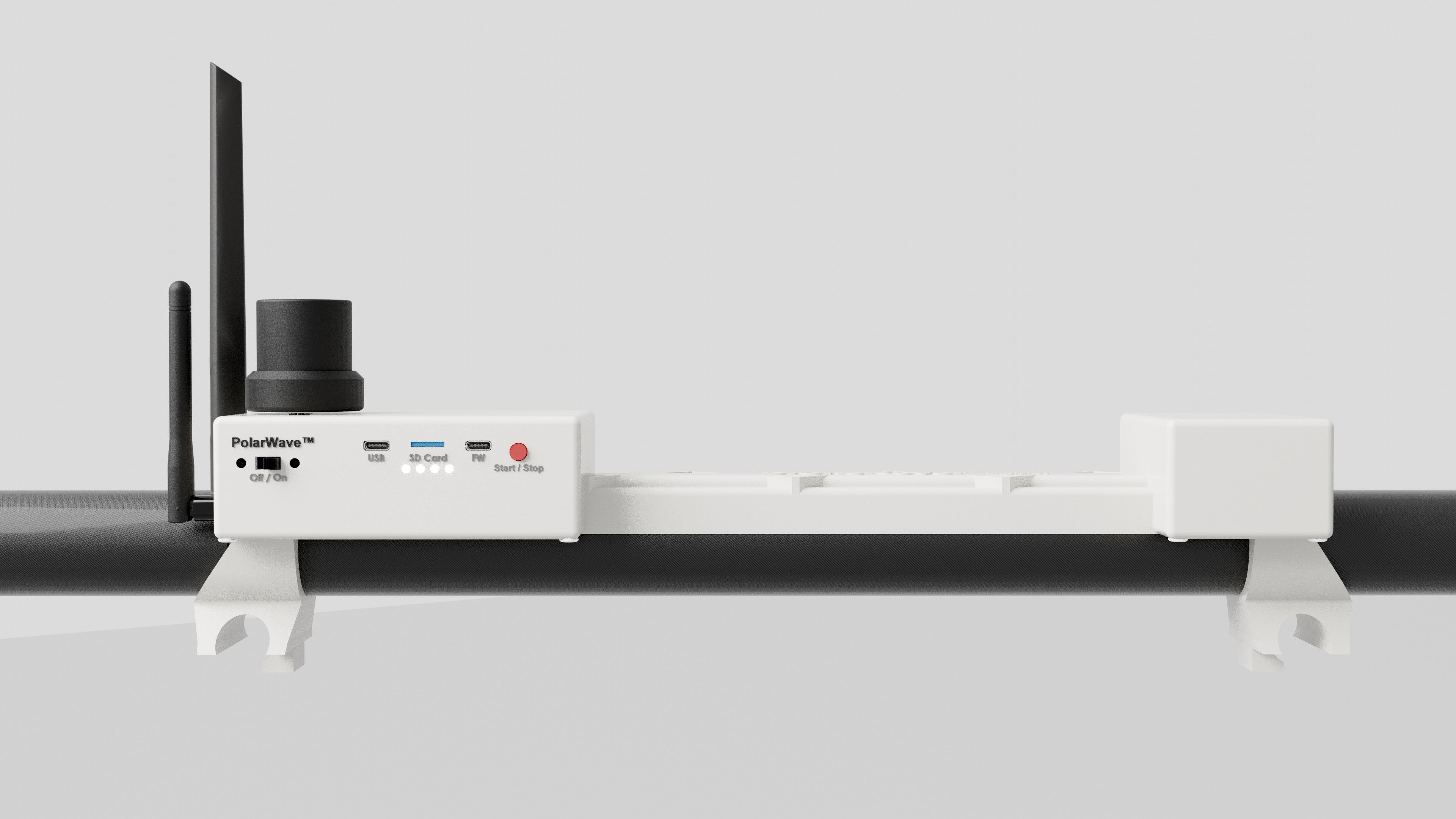
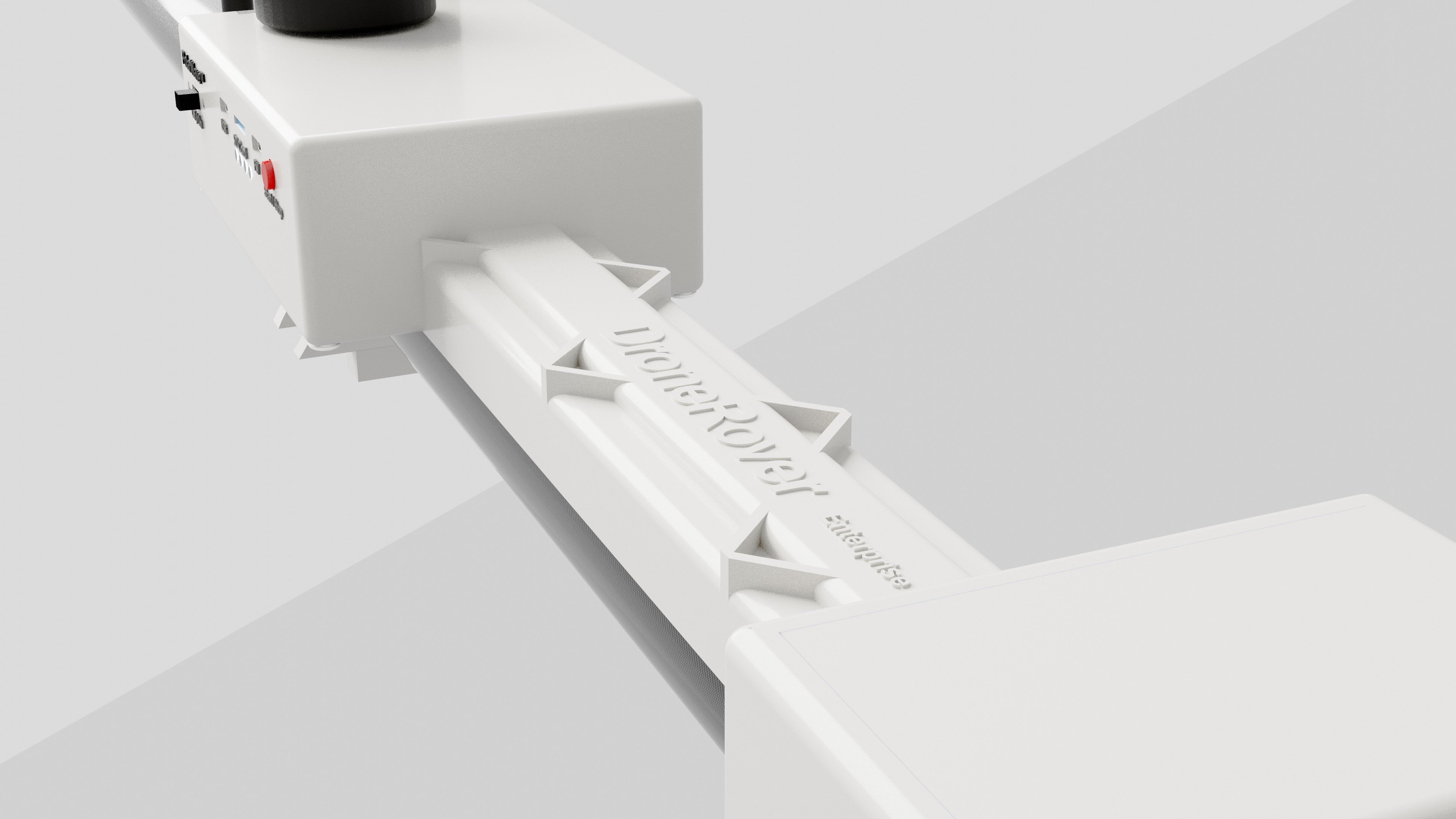
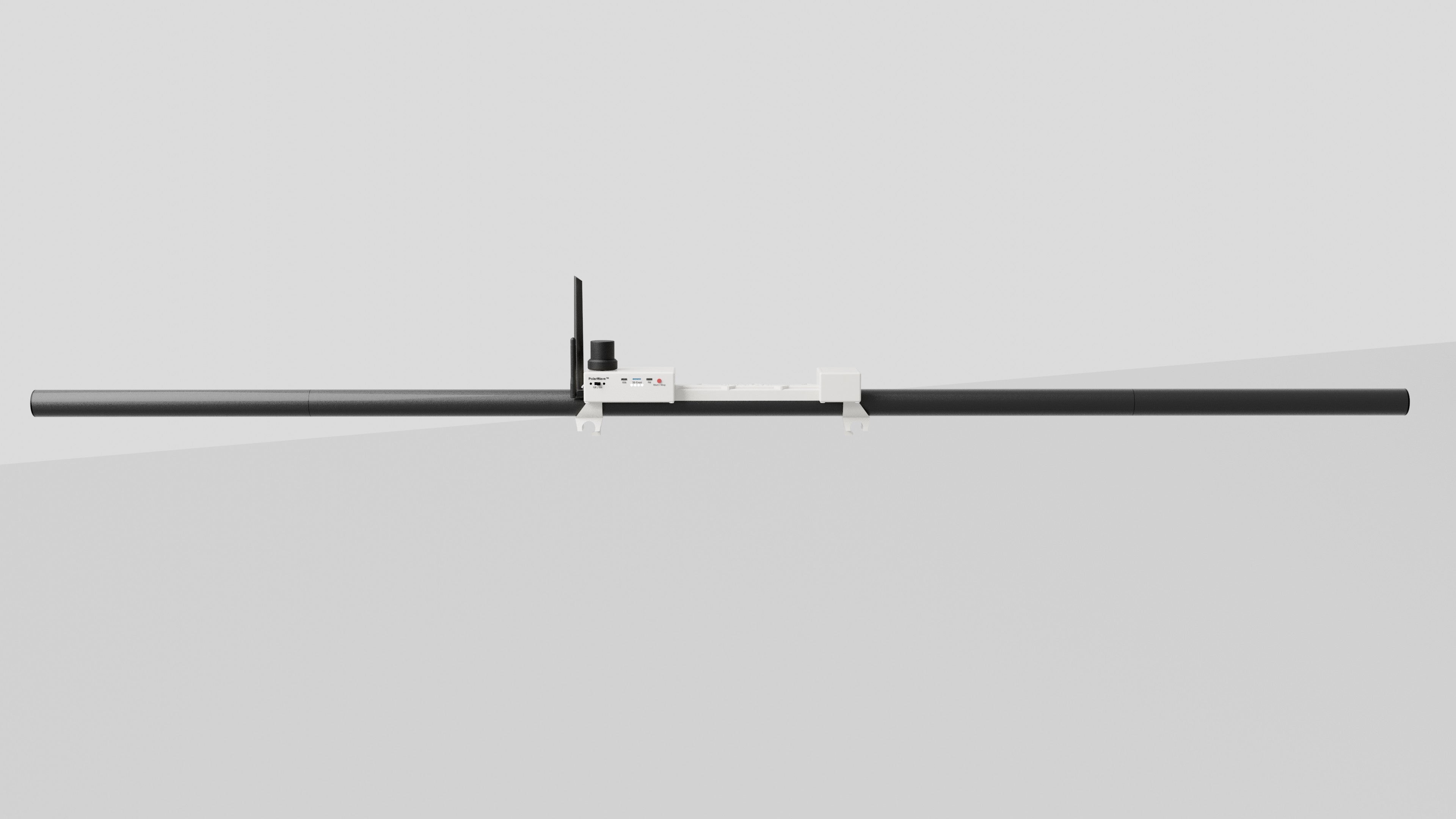
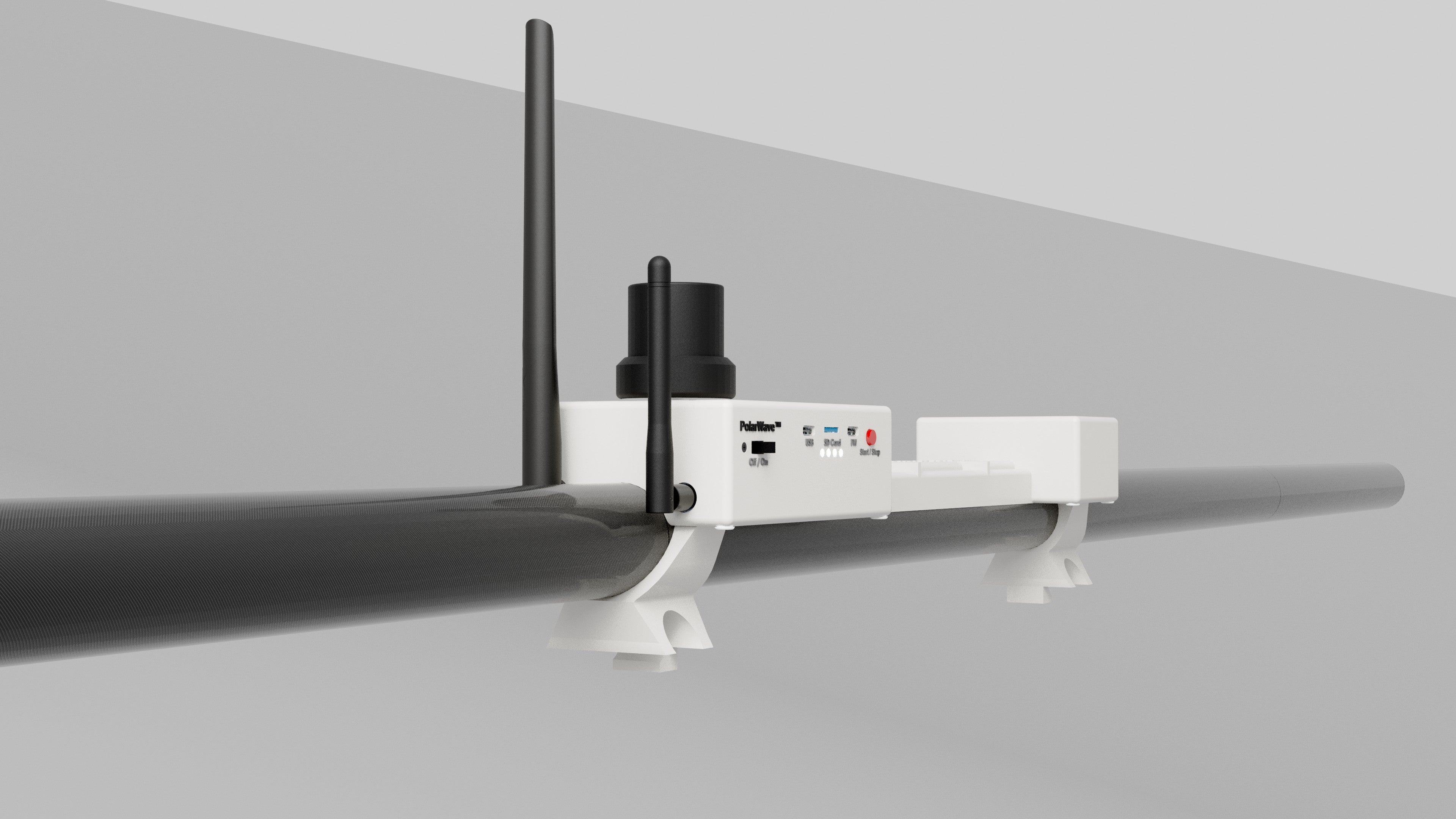
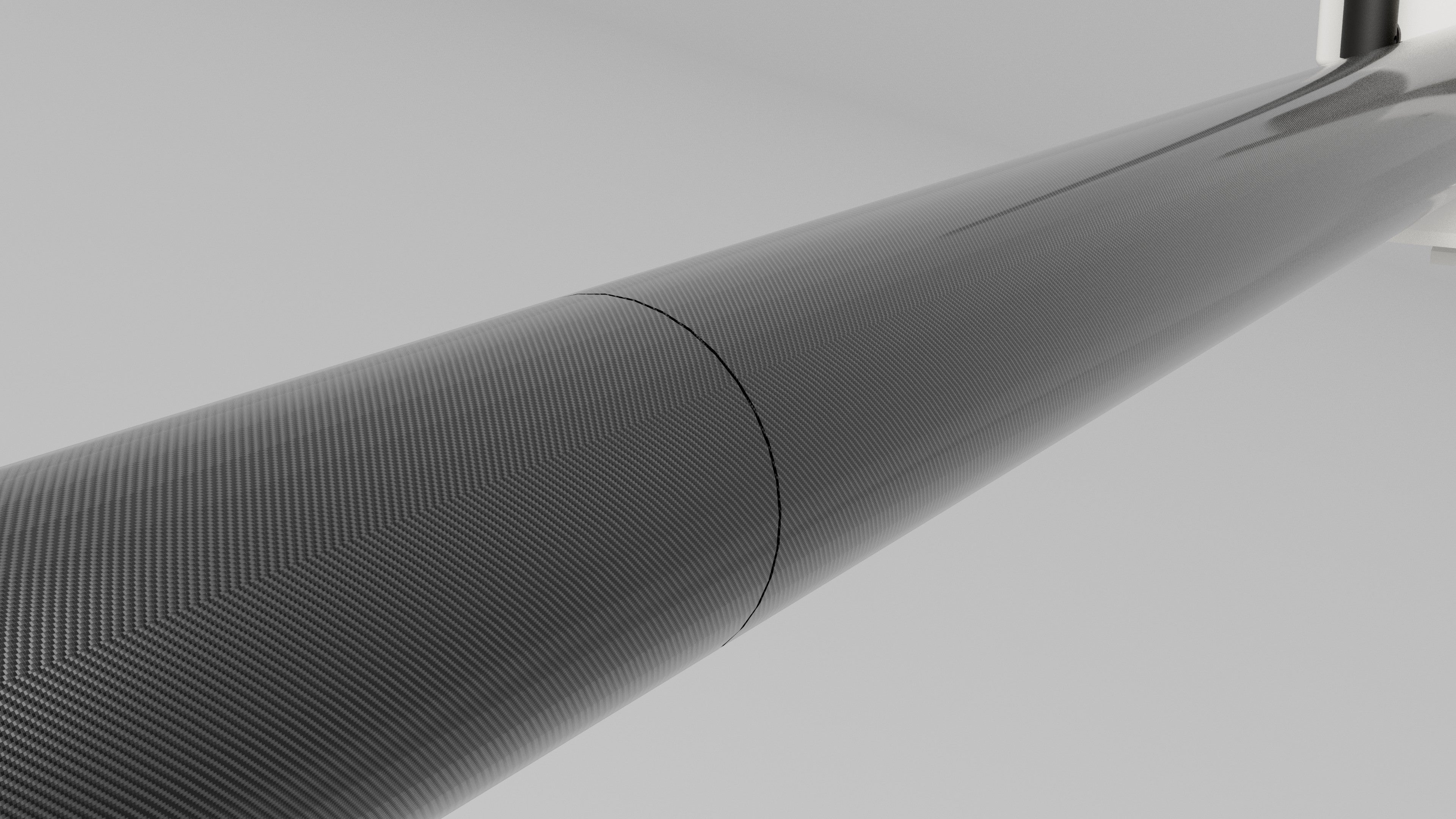
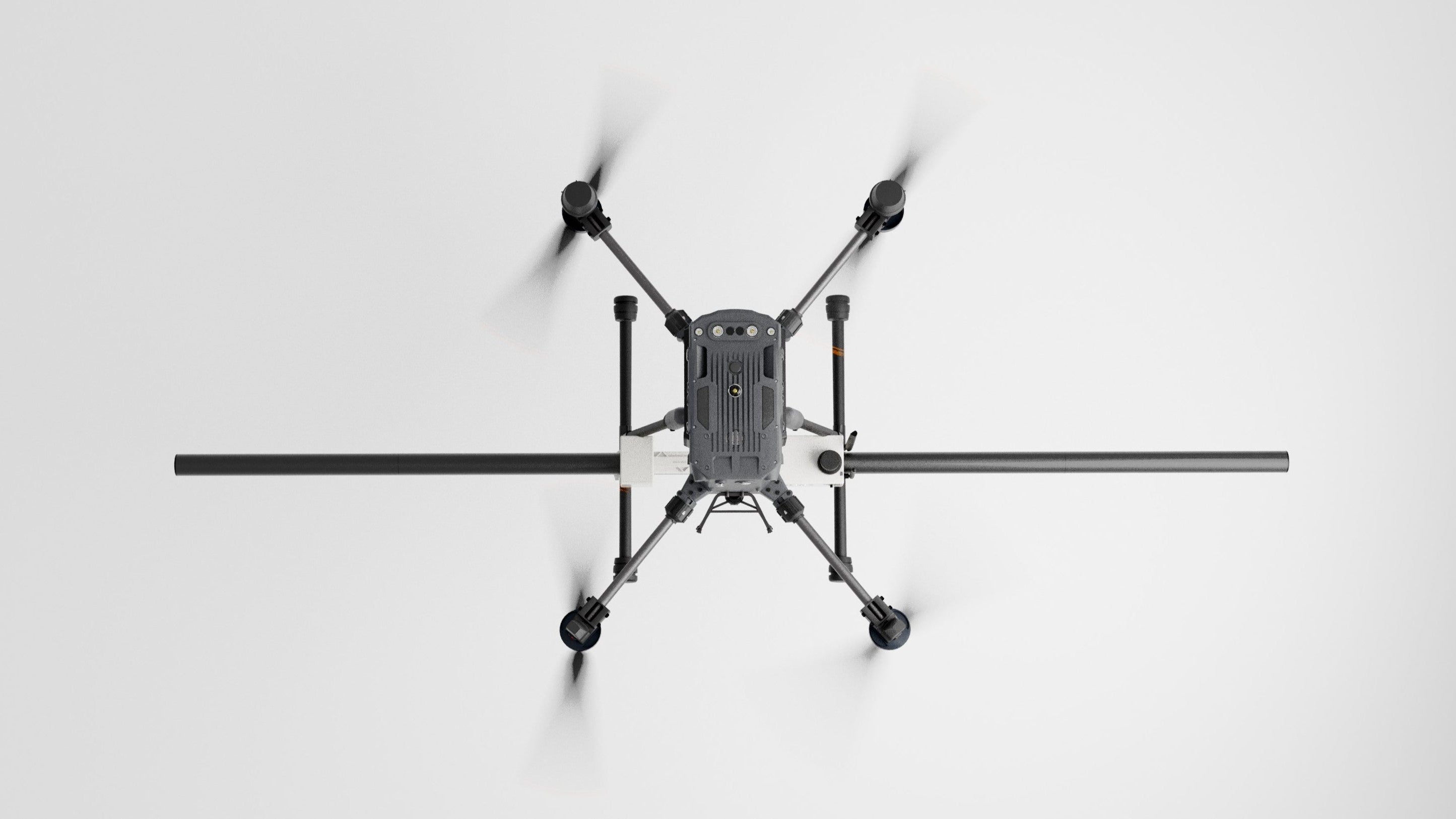
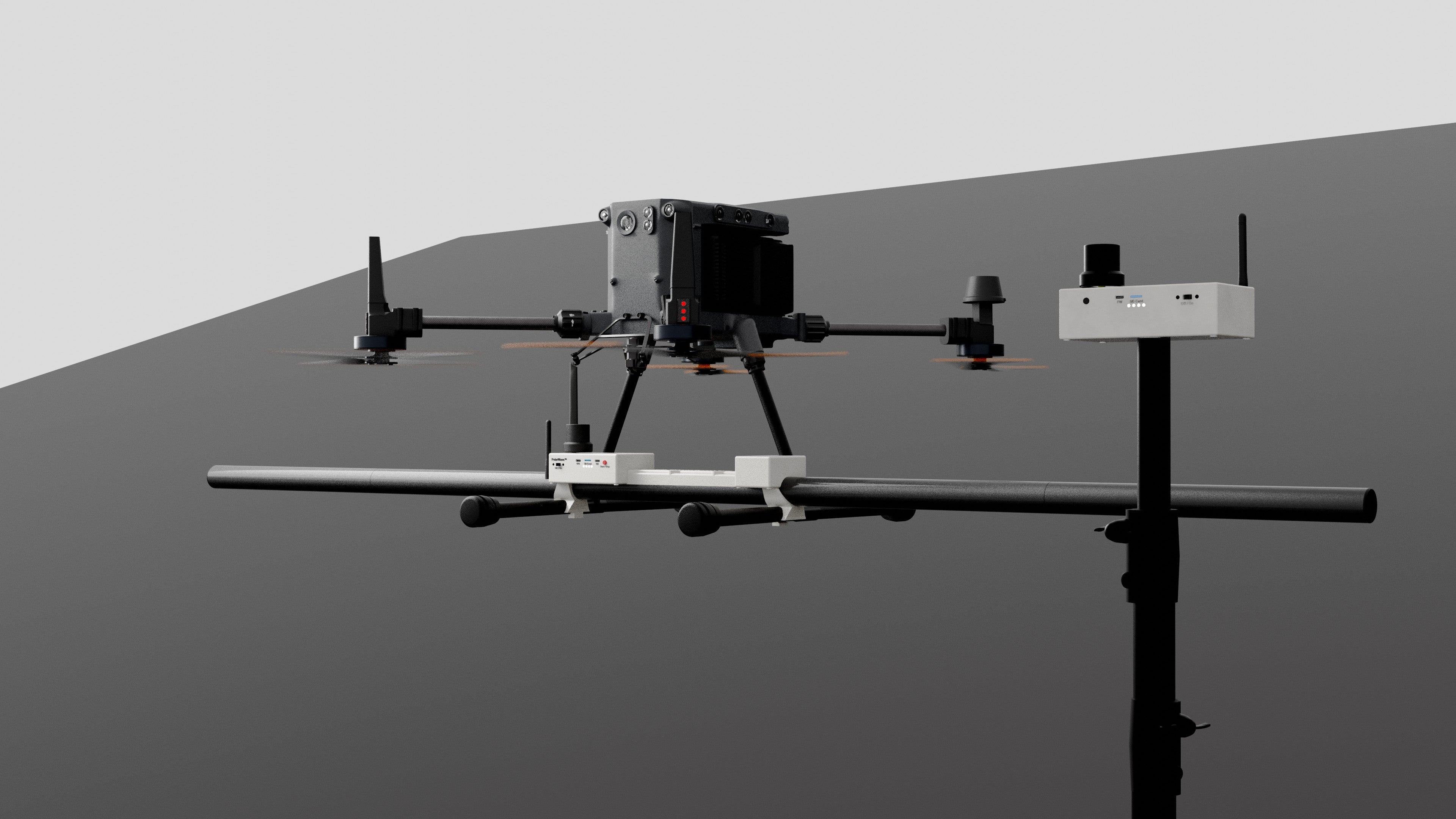
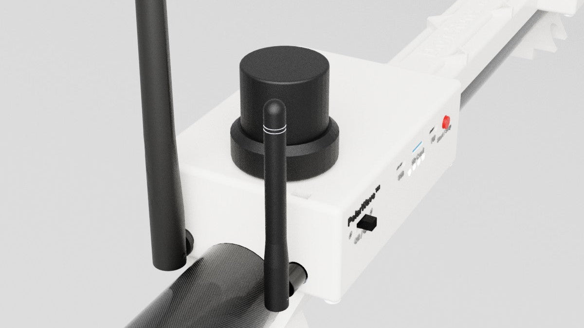
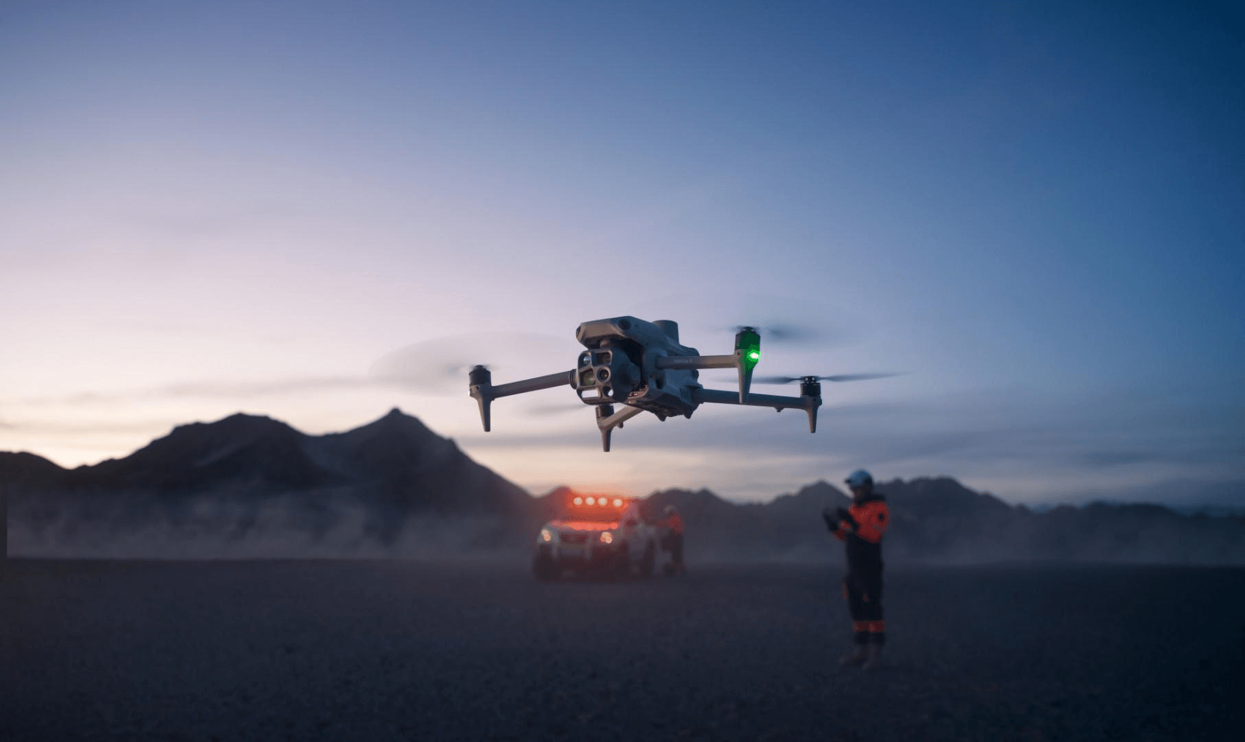
DroneRover™ Enterprise is a drone magnetometer system that utilizes five ultra-high-sensitivity sensors to collect accurate magnetic field data.
It is suitable for scanning larger or inaccessible areas remotely.
Contact for price!
Powered by

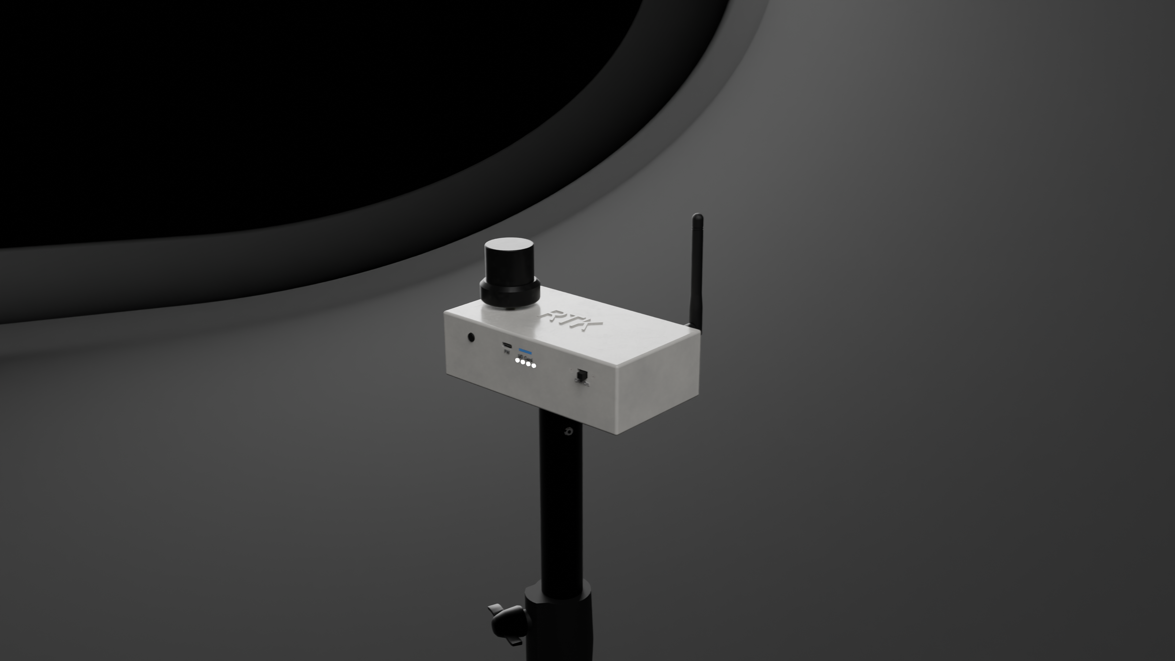
Bartington military-grade sensors.
We integrate Bartington military-grade fluxgate sensors, known for their superior stability and sensitivity. This guarantees dependable performance for demanding research, industrial, and field applications.
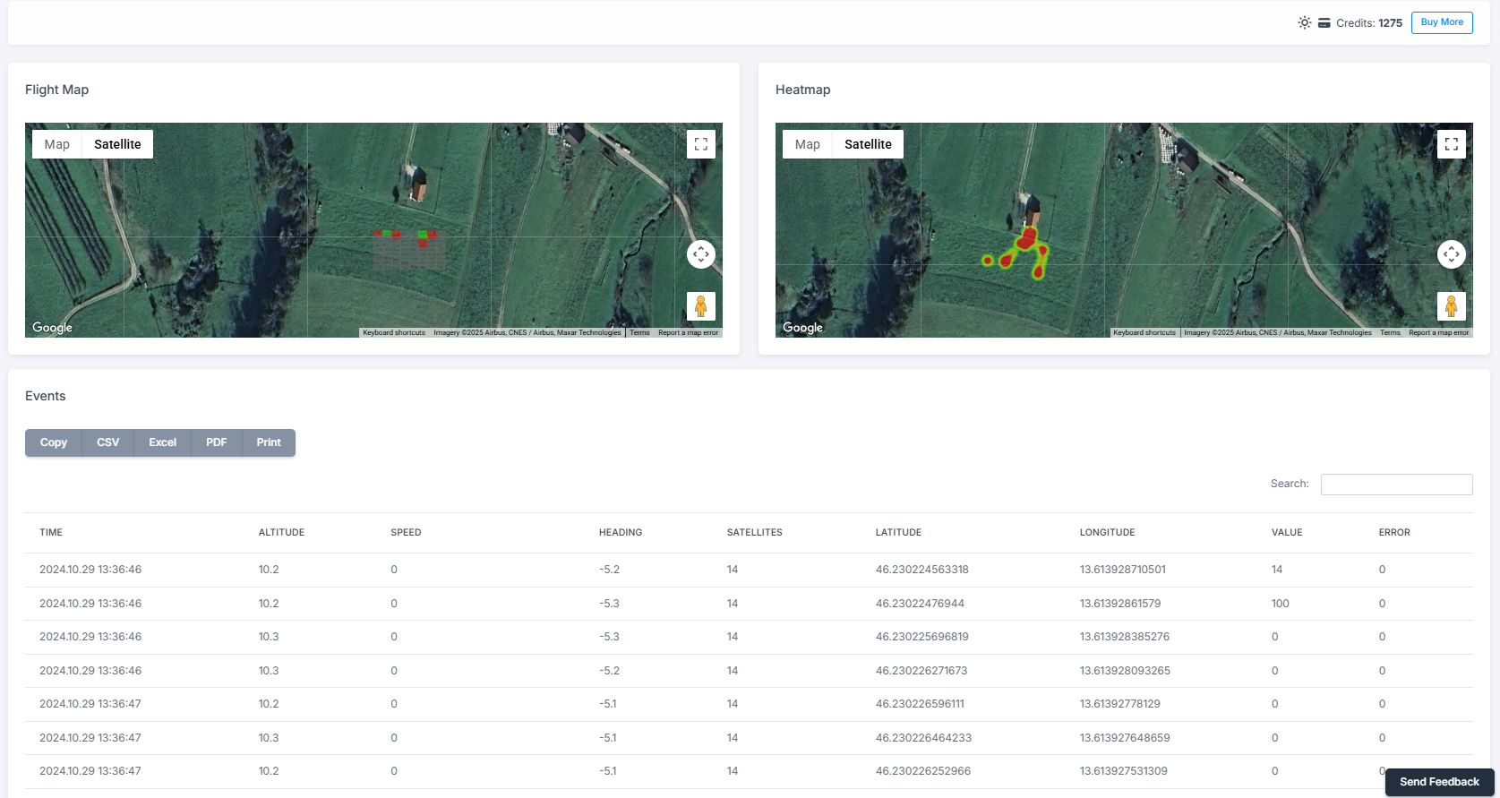
Place Your Scan Directly on Google Maps
Place your scans directly on Google Maps with PolarWave™ Data, available exclusively through the Flight Log feature.
Smart Data Correction
The DroneRover™ incorporates advanced accelerometer technology to detect and compensate for vibrations or movement during operation. By analyzing motion data, it automatically filters out false readings caused by sensor shaking, ensuring accurate and reliable survey result.
Intergrated GPS
This feature enables accurate mapping of detected anomalies and simplifies large-area surveys by linking magnetic field data directly to geographic coordinates. With the integrated GPS, you can confidently navigate and document your exploration with pinpoint accuracy.
Magnetometer Software
Process Data
Our software provides powerful tools and intuitive features designed to transform raw data into actionable insights. By leveraging sophisticated algorithms and comprehensive analytical capabilities, our software helps you uncover patterns, trends, and correlations that might otherwise go unnoticed.
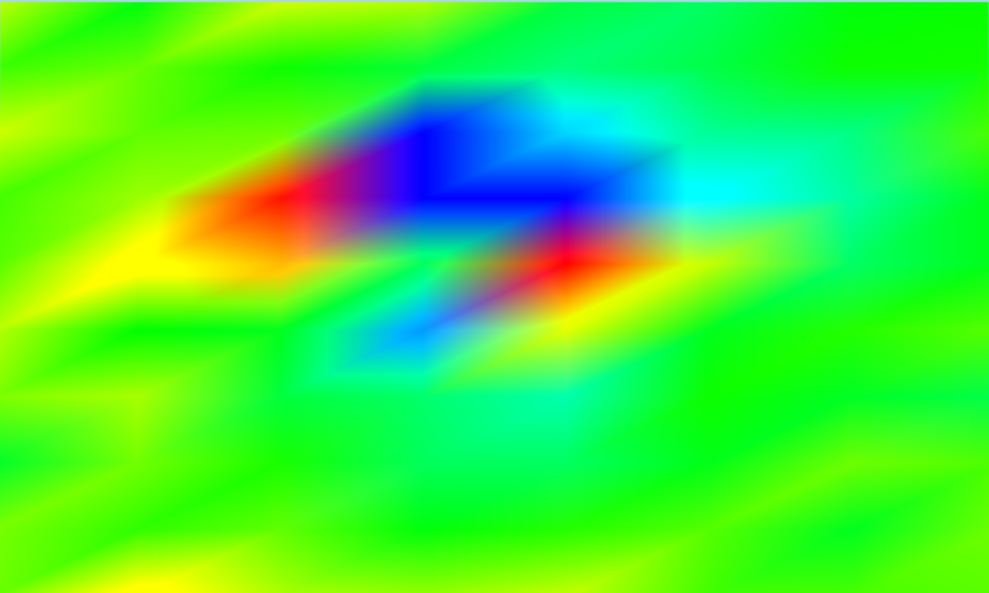
Before
After
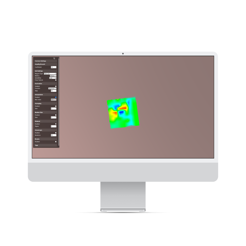
Understand Your Magnetometer Scans with PolarWave™ Data
Easy to Use - All in one software
Open PolarWave AppSpeak with our trained professionals.
Distributors
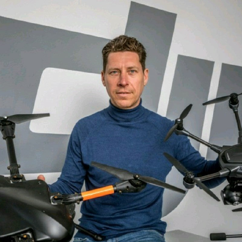
Tim Ketels
PolarWave™ magnetometer solutions have completely transformed the way we conduct large-area surveys.
The system delivers outstanding precision in detecting concealed targets, making the entire process faster and more reliable. From field scanning to data analysis, everything works smoothly, saving us significant time compared to older methods.
With PolarWave™, I’ve been able to pinpoint areas of interest that would have otherwise gone unnoticed. I highly recommend their technology to anyone who demands professional, high-performance survey results.

Shai Spetgang
For a large-area archaeological survey, I remotely managed operations using the PolarWave™ magnetometer. The results were exceptional, delivering pinpoint accuracy in detecting subsurface artifacts and reducing guesswork for our client.
The seamless workflow, from scans to analysis saved time and resources, providing clear visualizations of excavation sites pre-digging, far outperforming traditional methods.
I highly recommend PolarWave™ for any team needing professional-grade surveying tools.
We will guide you though the process.
What are our clients saying.

David G.
The DroneRover has made our surveys faster and more efficient!
We’ve been using the DroneRover for our site surveys, and it has consistently exceeded expectations. Its lightweight design and ease of use make it ideal for rapid deployment, while still delivering impressive depth detection. It has truly streamlined our workflow and significantly improved both our efficiency and overall survey accuracy.

Thomas J.
DroneRover Enterprise is the solution for large-scale, high-accuracy surveys!
The DroneRover Enterprise is the ultimate solution for large-scale, high-accuracy surveys. With its robust build magnetometer tech, we’ve been able to pinpoint deep targets across vast areas with incredible precision. The ability to integrate with our other systems has streamlined our operations and reduced time spent on the ground.

Joshua A.
With DroneRover we can detect deeper targets with incredible precision!
The DroneRover has completely transformed our surveying capabilities. With its powerful magnetometer technology, we can now detect targets much deeper than we ever thought possible. It's the perfect tool for medium to large area surveys, and the real-time data capture is invaluable for our team.
Looking for custom solutions?
Get tailored Magnetometer and GPR solutions designed to meet your specific requirements.
Turnkey Solutions
We provide complete, ready-to-deploy systems, including customized magnetometers and Ground Penetrating Radar (GPR) technologies, designed to meet your specific requirements.
OEM Solutions
We specialize in providing tailored OEM solutions, offering custom sensors, magnetometers, and GPR systems designed to integrate seamlessly into your products.
White-Labeling
White-labeling solutions for magnetometers and GPR systems, we provide fully customizable products that seamlessly integrate with your brand.
About
Who are we?
PolarWave™ is a part of Treasure Hunter d.o.o company from Slovenia that has been developing Magnetometers and GPR technologies of over a decade.
Our products are expertly designed and thoroughly tested in partnership with senior engineers who have over 20 years of experience in metal detection and advanced technologies.
We also collaborate closely with archaeologists and geologists to ensure our devices are tailored to their needs, enhancing efficiency and optimizing their workflows.
Company information:
- Treasure Hunter d.o.o.
- Kidričeva ulica 19, 5000 Nova Gorica
- Slovenia, EU
- email: info@polarwave.tech
FAQ
Let us answer your questions.
What are the shipping costs and how long does it take to deliver?
We offer FREE worldwide shipping using UPS Express shipment for all orders.
Packets inside the EU are delivered in 2-3 days, while international shipments can take up to one week
If you have special shipment requirements, please let us know, and we will try our best to accommodate them
Where are products manufactured?
We are proudly based in Slovenia, EU, where we design and manufacture all of our products. Every solution is crafted with precision and expertise right here in Slovenia.
Company Information
PolarWave™ is part of Treasure Hunter d.o.o. company.
- Treasure Hunter d.o.o.
- Kidričeva ulica 19, 5000 Nova Gorica
- Slovenia
- VAT: 91719348
Contact Us
Do you have any question?
Blog posts
Drone Magnetometer Surveys: Efficient, Accurate, and Cost-Effective
In recent years, drone magnetometer surveys have transformed how we explore the subsurface. Whether you're involved in archaeology, geology, infrastructure, or environmental monitoring, using a dro...